
Cambridge station
Step-free station roughly a 20–25 minute walk from the historic centre. Frequent local buses and taxis provide alternatives.
Check station information →Choose a route, inspect every stop and keep practical travel information beside the programme-themed clues.
Transport, access and opening information can change. These official services take precedence over this dated fan guide.
Travel links checked 19 September 2026 · Check again on the day
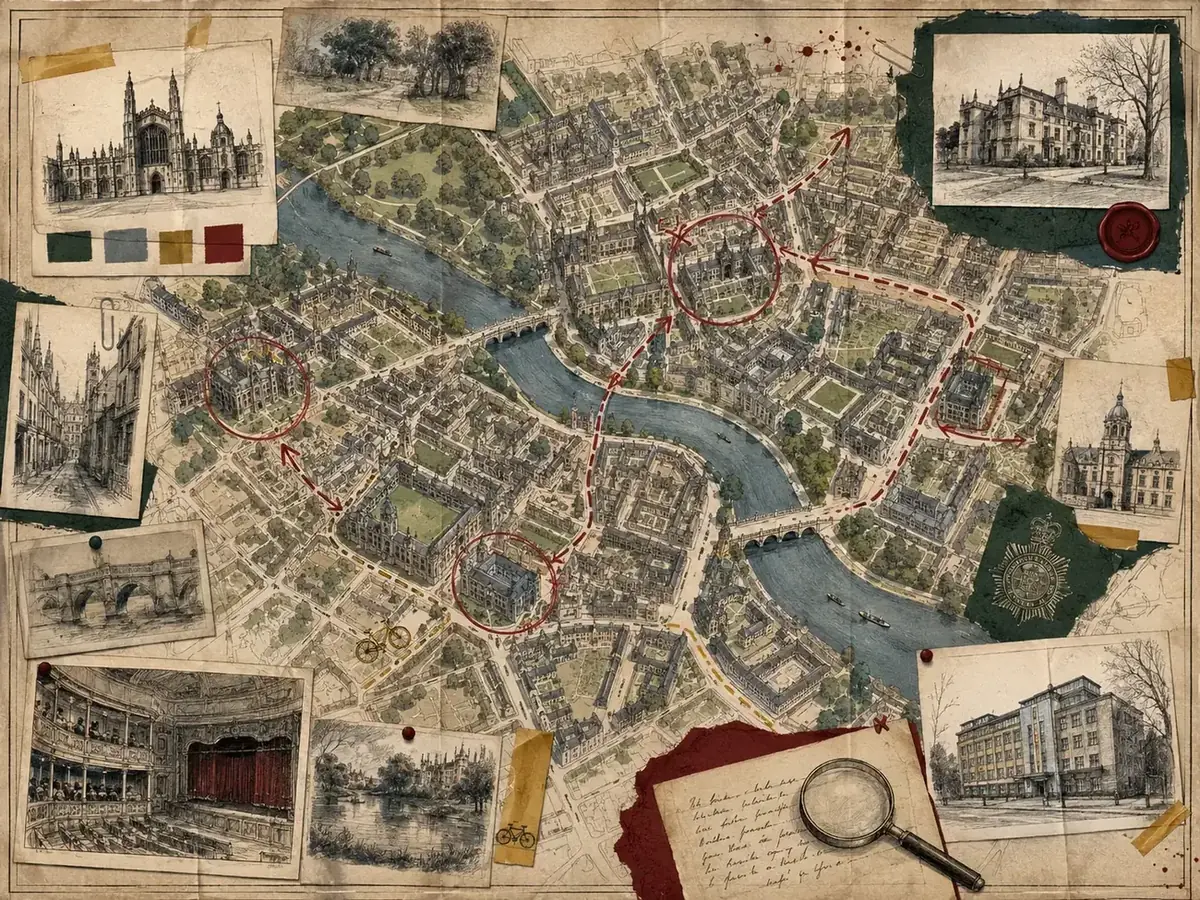
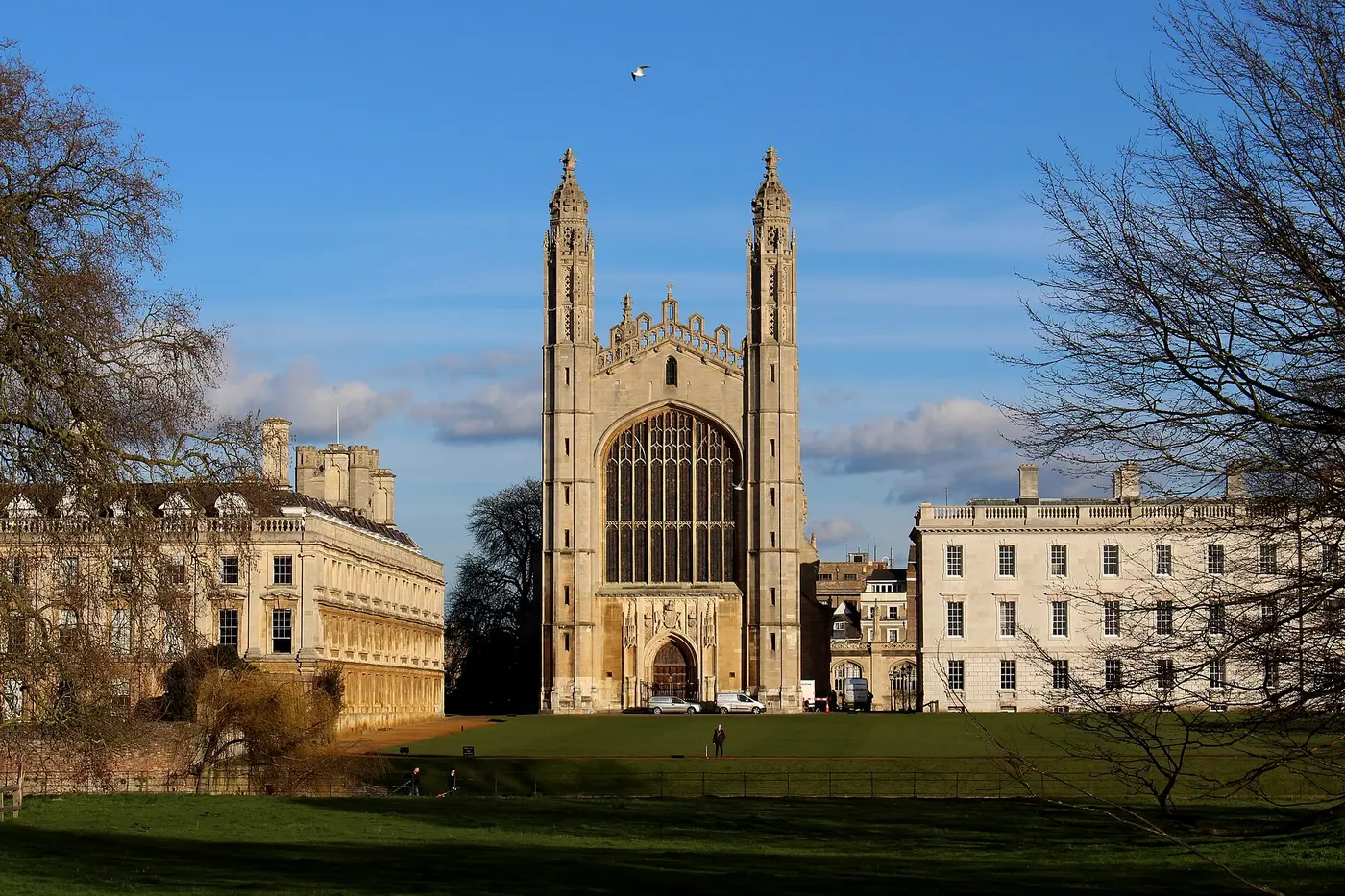
A spoiler-free route connects central Cambridge architecture, practical arrival points and areas to stay without presenting a fictional map as navigation.
Distances are planning estimates for the public route and do not include time inside attractions.
Best for a short arrival-day orientation with no ticketed stop required. For comparison, the Tourist Information Centre gives about 30 minutes for a direct station-to-centre walk via Station Road and Hills Road; this casebook route detours by Mill Road, and its mileage remains an estimate.
The core Casebook route, with time for observation, rest and one publicly open attraction.
Allow extra time for queues, controlled access, meals and changing conditions.
This schematic map explains sequence rather than replacing live navigation.
Loading the interactive Cambridge map…
Interactive map tiles © OpenStreetMap contributors. Opening the map requests tiles from OpenStreetMap. The complete stop list remains available below.
Step-free station roughly a 20–25 minute walk from the historic centre. Frequent local buses and taxis provide alternatives.
Check station information →An optional food-and-independent-business detour near the station; use crossings and keep the route flexible.
Compare street width, river views and junctions without presenting the area as a confirmed continuous screen route. The venue file separates public bridge access from punt boarding and describes the council’s nearby toilets.
Open Silver Street visitor file →Public views meet controlled college entrances. Confirm access and never treat private grounds as an open set.
Open Queens’ Lane visitor file →A central orientation point. The official Tourist Information Centre is at the Guildhall, 11 Peas Hill; check its opening before relying on in-person advice.
Check Tourist Information Centre →Add only where public routes and current opening arrangements allow. The Bridge of Sighs belongs to a working college with controlled visitor access.
Open St John’s visitor file →Toilets and rest stops: The council’s live facilities list includes Silver Street, Lion Yard and Drummer Street. Silver Street has a street-level accessible toilet and baby-changing facilities; the ordinary toilets involve stairs and a charge. Drummer Street has a Changing Places facility. Check opening and Radar-key requirements before setting out. For an indoor break, use an open café or the Tourist Information Centre rather than assuming college facilities are available.
Route evidence: This is a thematic public-street itinerary. The linked location files identify reported or frame-matched Ludwig places, but the sequence is not a reconstruction of an episode’s filming route. Distances and durations are estimates; verify a suitable path and crossings for your party.
Editorial area guidance remains useful when prices and availability change.
| Area | Best for | Centre access | Rail access | Trade-off |
|---|---|---|---|---|
| Historic centre | First visits and walking | Excellent | Longer walk | Usually highest priced; restricted parking |
| Station area | Rail arrivals | Good | Excellent | Less historic atmosphere |
| Mill Road | Food and local character | Good | Very good | Busier streets |
| Castle Hill | Quieter stays | Good | Less direct | Gradients and longer transfers |
Browse official accommodation information → Ordinary link · no commission earned
Allow about 60–90 minutes for a return walk that is estimated at roughly one mile, including pauses; this distance has not been independently measured. This public-street option avoids the station-to-centre walk and all college interiors. It has not been independently surveyed as step-free: check your own mobility needs, crossings, kerbs and current street works before setting out.
The Tourist Information Centre’s own directions describe these streets in the other direction, from Peas Hill via Bene’t Street, Trumpington Street and Silver Street towards the Queen’s Road coach drop-off. That confirms the street sequence, not the estimated mileage or step-free suitability of this shorter bridge-and-return route.
If you need a mobility aid, the council’s free Shopmobility scheme requires advance registration and recommends reserving equipment. For a transfer, check current buses or pre-book an appropriate wheelchair-accessible taxi; do not assume every vehicle is suitable. The council also lists Drummer Street’s Changing Places facility as a city-centre alternative.
Tourist Information Centre · Current toilet access and hours · Shopmobility · Accessible taxis · More access guidance
Do not enter private property, obstruct residents, students or businesses, or assume a screen location is publicly accessible. This is a fan-created thematic route, not a live navigation service or an official filming-location tour.
The programme combines recognisable Cambridge views with buildings and interiors filmed elsewhere. A route that appears continuous on screen may not be a sensible or even physically continuous visitor walk.
Visit Cambridge maintains current destination guidance and a broader film-and-television location guide. College grounds, workplaces and private homes are not automatically public attractions.